
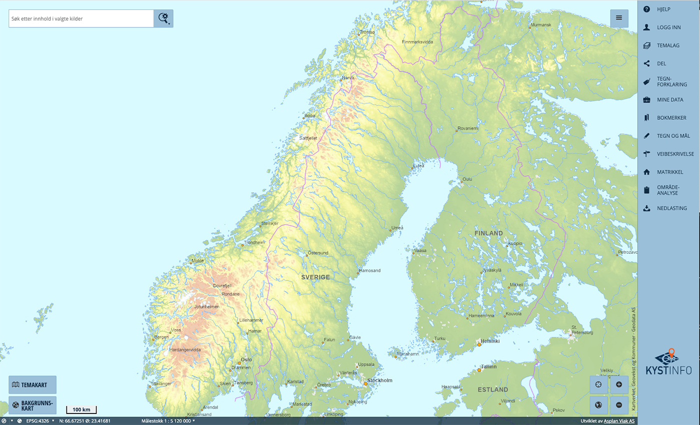
KYSTINFO is a web based layered sea-map system where many different layers with information can be activated and updated real-time by the coastal administration, its partners, and registered users. Many layers are freely available by default, some examples are navigational installations, anchorage areas, harbours, marine charts, depth maps, real-time and historical AIS vessel data, hazardous areas, accident frequency and meteorological data (wind, wave hight and direction, precipitation, currents). The tool can be accessed here.
Information related to preparedness and environmental concerns are also available by default.
This includes information about ports of refuge, areas with protected species, vulnerable areas, environmental management zones, storage locations and lists of available equipment. Users can upload data such as images, KSAT satellite pictures, documents, and files.
The KYSTINFO system has many base maps available and has functionality to upload your own map data or map data from other sources.
DISCLAIMER: The information contained in this website and in any dissemination activities reflects the views only of the author. The Agency is not responsible for any use that may be made of the information contained herein.

2021 | This project has received funding from the European Union´s Horizon 2020 research and innovation programme under grant agreement:
Nº 101020676